May 2022
May 24, 2022
revised: June 8, 2022
Attempted Trip to Sacajawea Campground
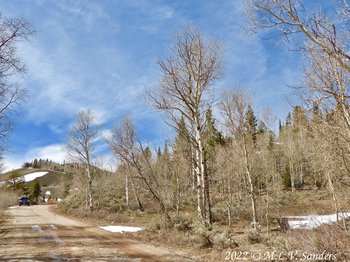
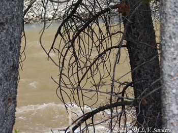
On May 5, we took Middle Piney Road into the National Forest in the Wyoming Range headed for Sacajawea Campground, just to see what was there. We have never been there before. We stopped less than two miles from the campground when the road became completely covered in snow. We turned around on the Forest Service road and started poking around. next to us was a creek with a posted sign that identified the creek as Bird Creek. On the topographic maps of caltopo.com, this creek is called Walker Creek.
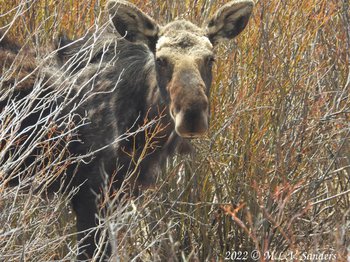
When walking the dogs we unexpectedly agitated a large moose browsing in the vegetation along Bird Creek. The moose retreated across Middle Piney Road, took refuge in the thick willows, and stamped its feet. It is surprising how loud a moose can stamp its feet. When a moose does that we like to turn around and walk the other way.
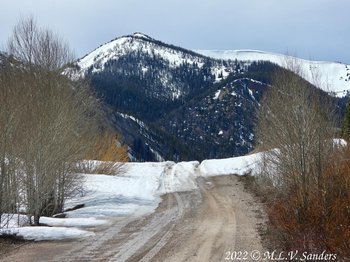
This is where we stopped on Middle Piney Road because of the snow. The moose we encountered ran across the road here. Bird Creek passes under the road.
Our truck parked on road FS46. Bird Creek, with its moose viewing opportunities was below the truck to the left.
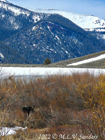
Our irritated and cantankerous moose forgot about us and foraged in the vegetation around Bird Creek.
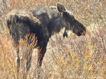
The moose we saw in the willows along Bird Creek. It is scraggly looking.
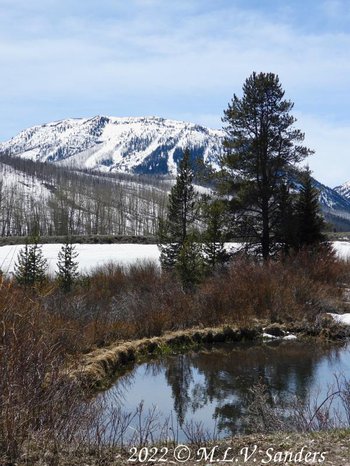
A beaver pond fed by Bird creek.

The same beaver pond from a different angle.
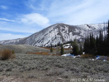
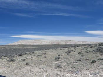
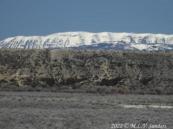
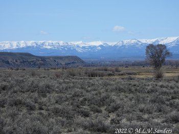
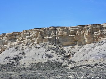
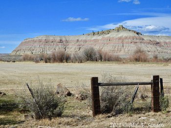
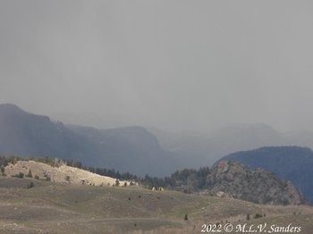
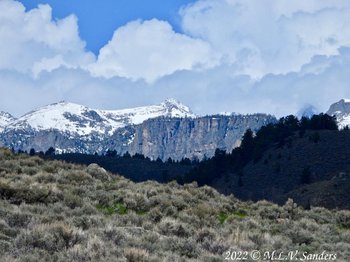
The burned trees in the distance are from the Fontenelle Fire in 2012.
Craziness Behind Ross Ridge
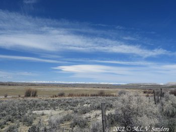
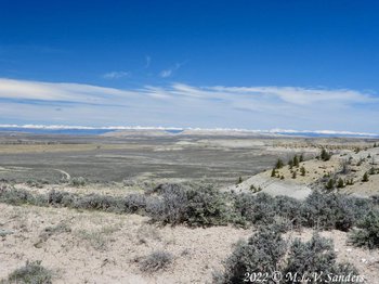
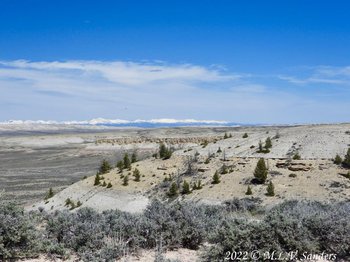
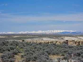
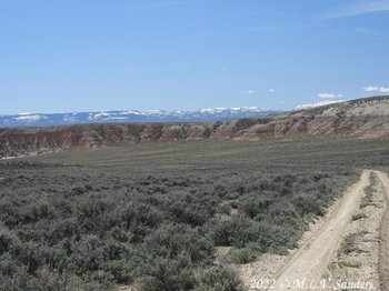
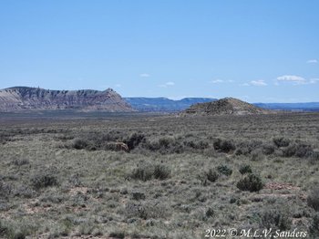
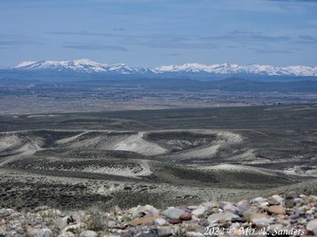
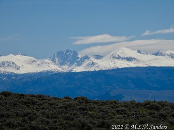
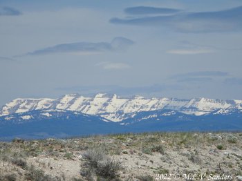
On May 15 we went venturing on some rugged roads in the arid and colorful region behind Ross Ridge near the town of Big Piney. During the entire trip, we could almost always see at least one of three snow capped mountain ranges: The Wind River Range, The Gros Ventre Range, and the Wyoming Range.
The trip started out with us turning south off of highway WY 351 onto a dirt road, Sublette County CR 175. The county road lead us onto a one lane bridge over the New Fork River, pass Ross Butte, pass Ross Ridge and up a steep 100 ft climb above the river flood plain . We saw no signs or visible difference but according to the map the county road then changed into an unnamed road on BLM land. We drove further on and ate lunch south of the very prominent Ross Ridge.
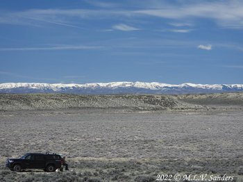
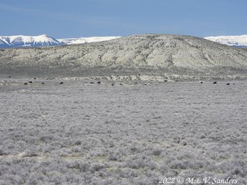
Checking the GPS after lunch. The Wyoming Range is in the background. In the middle right, those distant little black dots are cows.
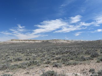
Ross Ridge to the north of us is very long.
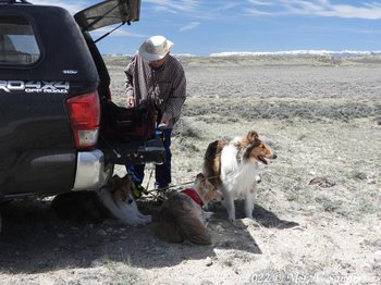
These puppies enjoy their shade.
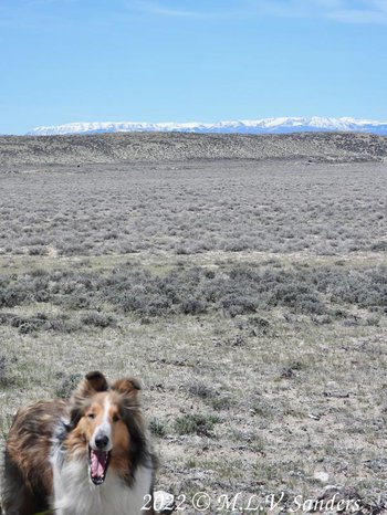
Our collie Sugar Boy with a big smile.
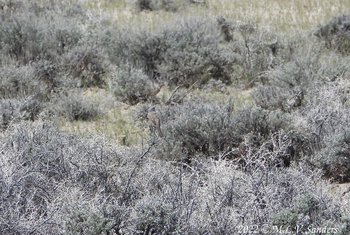
There is a Sage Sparrow in the middle of the picture. The bird blends into the landscape.
Another view from our lunch spot to the south.
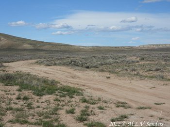
After lunch we backtracked, then headed south to a complicated junction between our road, an unnamed road to the top of Ross Ridge, BLM 5404, and Alkali Creek. After some deliberation we got onto BLM 5404 headed south. Crossing Alkali Creek was note worthy. There was a bridge over the creek, but the road in front of the bridge was washed out and the bridge could not be used. Following the "beaten path" we drove down the steep bank of the dry creek bed, across the rocky bottom, and up the other steep side. Unfortunately we were so focused on navigating and driving that we toke no pictures of this substantial but completely useless bridge.
As we drove, BLM 5404 descended to the flood plain along the river. On the right of the road towards the river was a barbed wire fence and ranch land. To the left was the more rugged BLM land. The views were impressive.
Zoomed in view of bluffs over the Green River.
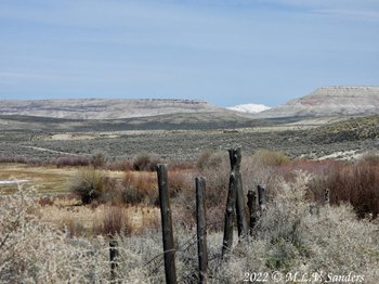
The fence marking the boundary of a ranch. On the other side of the fence is a hay field and irrigation ditches. In the far background are the snow covered mountains of the Wind River Range.
Left to right: Ross butte, a Wind River mountain, and Ross Ridge.
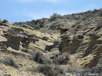
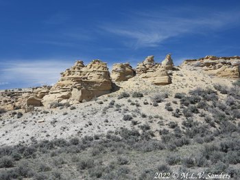
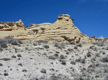
Cool little hoodoos we found.
The broad Green River Valley and the Wyoming Range.
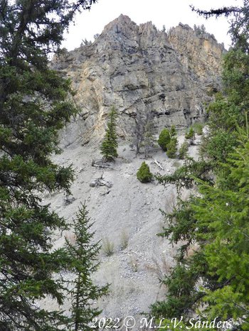
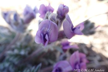
After almost 4 miles BLM 5404 turned left away from the ranch land and started to ascend. We rounded a bend and climbed over 250 feet to the top of a fairly flat-topped ridge at about 7050 ft elevation. We slowly drove less than a mile on the top of the ridge. Then we followed a long decent to the edge of Green River. During the whole trip, the views of the distant mountains and the near by rock formations impressed us. Spring flowers, primarily white phlox were common.
Coming down the ridge involved a higher level of off-roading than we prefer. Everything went OK, but turning while climbing out a washed out gully next to a rock formation, the truck touched bottom.
Interesting rock formations on a distant ridge.
A heavily zoomed in view of the ridge in the previous photo
To our right was a branch of the ridge we were climbing. The top layer of rocks looked wafer thin.
We are at the top of the ridge looking back at Ross Butte and Ross Ridge. The distant Wind River Range can be seen.
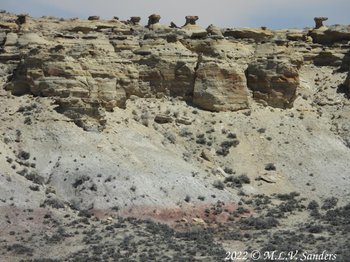
The hill to the right has three distinct layers: lower white rocks, middle yellow rocks, and top white rocks. Most of the trees are growing in the middle yellow layer of rocks. Very odd.
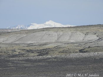
At the top of the ridge we saw the snow covered mountains of the Gros Ventre Range.
At we headed down off the ridge, the geology was very interesting.
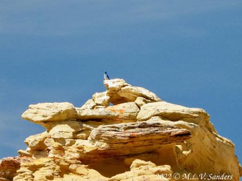
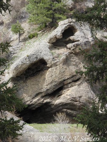
There were numerous small holes and caves in the yellow rocks.
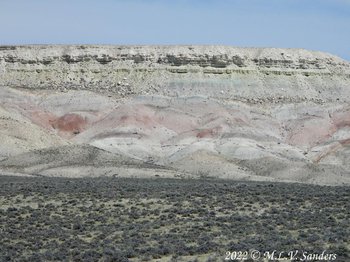
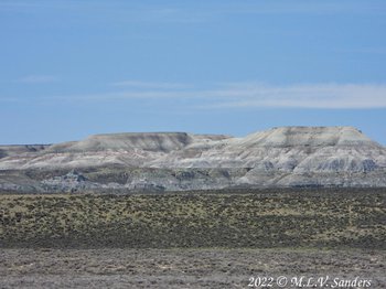
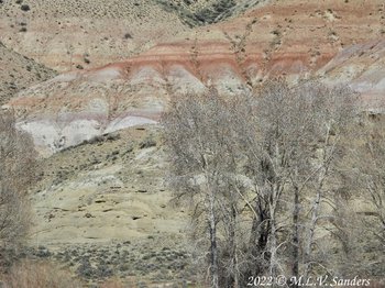
The hills changed from yellow to a red color.
On the left is the side of Red Hill.
Here is the road full of pot holes and ruts we were on before getting on the well maintained Fishing Access road.
To end our trip we drove on the descriptively named Fishing Access road that runs parallel with the Green River. The New Fork River that we had begun our trip with had since joined the Green River. We followed the road a short ways to the Fear Meadows Public Access Area on the Green River. Fear is the name of a local ranching family. We found water for the collies to play in and trees for shade. We later headed south to get on Readon Road and then to US 189 and on home.
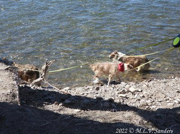
Our collies taking a dip in the Green River.
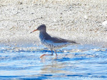
Spotted Sandpiper in the Green River.
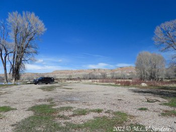
Our truck in the parking lot of the river access.
Small mesa behind the river access. Notice the red and yellow rocks. Some rocks even have a purple hue.
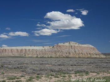
Red Hill as it is called on the old topographic maps.
Castle Rock is a prominent part of the Red Hill.
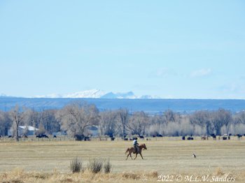
As we were leaving, we saw this cowboy riding his horse through a hay field. His dog running along with him.
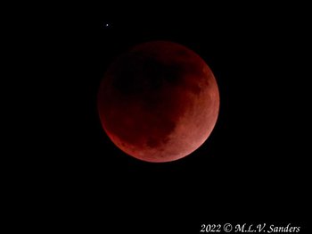
That evening we got some pictures of the lunar eclipse.
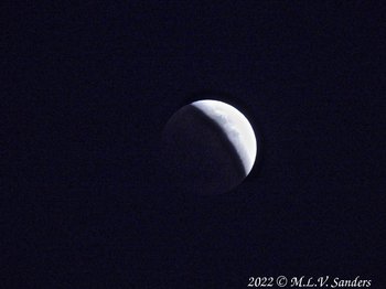
The eclipse as it started.
Nice Spring Trip to Grand Teton National Park
On May 19 we took a trip Grand Teton National Park passing through the scenic Hoback Canyon going to and from.
5-19-22 We took a nice spring trip to Grand
Teton National Park.
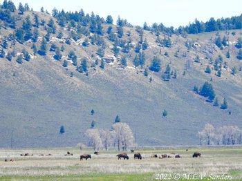
We have watched and watched and watched for Bison at GTNP and today we finally saw some.
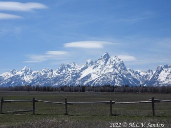
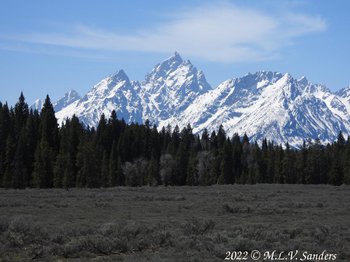
A nice view of the Grand Teton and company.
The backlit catkins on aspen tree seemed to glow.
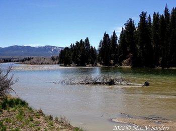
Snake River at Deadman's Bar GTNP (three men were killed here in 1886, supposedly in self-defense).
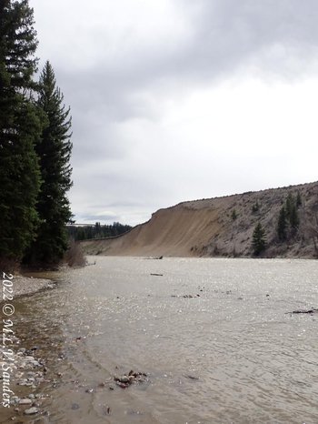
On our return home we looked for the "Stinking Springs" on US 189-191 that is marked on the scanned topographic maps in caltopo.com. Headed East, about 5 miles from Hoback Junction we stopped at a pull-out just past a bridge over the Hoback River and found the stinking spring. Its a pretty pull-out in a pretty canyon, but that spring does indeed stink when the wind is right (or wrong). According to the Forest Service the waters of the Stinking Springs enters the river a few feet above the river surface on the far bank. The spring leaves a distinct trail of Caribbean blue along the far side of the normally green hues of the river water.
See that tiny strip of greenish blue water right next to the bank on the other side of the Hoback River? That is Stinking Spring, an aptly named hot spring. In the spring, the Hoback River has more of a brown color.
Cliffs along the Hoback River near Stinking Spring.
A cave near Stinking Spring.
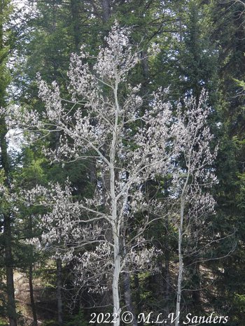
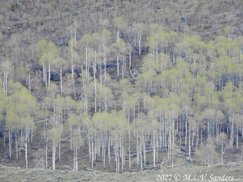
We were very excited to see some leaves on aspens. There are no leaves on the aspens yet in Pinedale
Get Out of the House
On May 24, we got out of the house to go to Soda Lake. On the way we stopped at the Luke Lynch Wildlife Habitat Management Area.
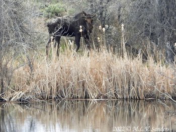
As we were driving into Luke Lynch we surprised a moose resting next to the pond.
We continued onto Soda Lake, just down the road on Willow Lake Road.
It had been raining and snowing of and on all day. The rain and snow continued at Soda Lake.
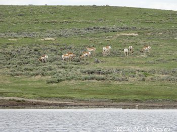
Pronghorn, they seemed to be all males,
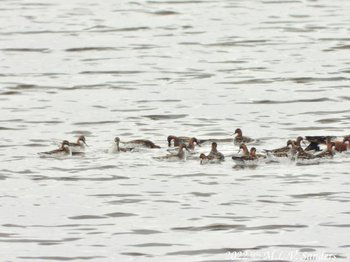
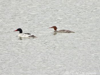
Wilson's Phalaropes packed together on Soda Lake.
Some blue sky appears over the mountains.
Leaves!!!!!!!!! Spring may be near.
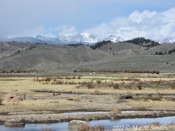
These are the wetlands that aren't very wet around Soda Lake. The snowfall last winter was well below average.
Stewart Point
Stewart looks over the broad valley containing the town of Pinedale.
5-25-22 morning light on Raid Peak as seen from our front porch.
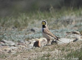
Horned Lark at Stewart Point.
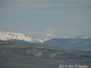
The Grand Teton, bird and cows. The Grand Teton has a cloud, the black dot in the sky is a bird, and the black dots on the ground are cows.
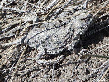
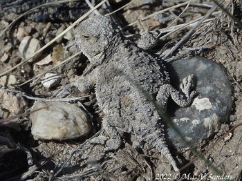
Eastern Horned Lizard, the Wyoming state reptile.
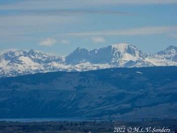
Fremont Lake and Peak as seen from the top of Stewart Point.
Triple Peak in the Wyoming Range.
Wyoming Range as see from the top of Stewart Point.
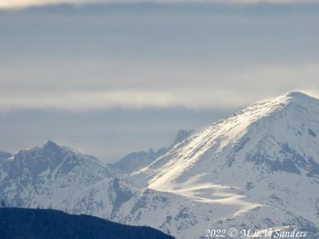
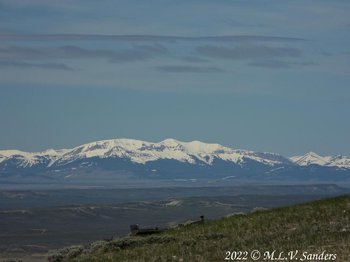
Mt Bonneville, Wind River Range.
Sawtooth in the Gros Ventre Mountains.
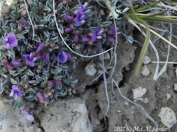
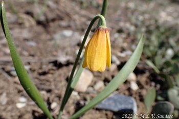
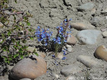
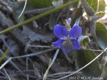
Flowers on Stewart Point.
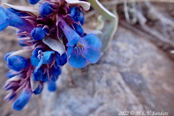
Flowers on Stewart Point.
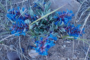
Flowers on Stewart Point.
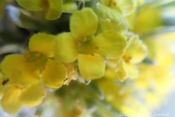
Flowers on Stewart Point.
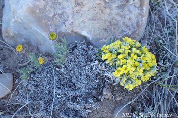
Flowers on Stewart Point.
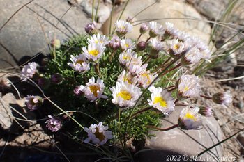
Flowers on Stewart Point.
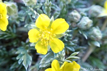
Flowers on Stewart Point.
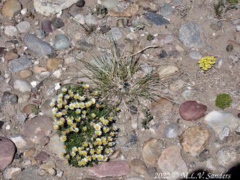
Flowers on Stewart Point.
Revisit the Green River Lakes
On May 26, we followed the long bumpy gravel road to the Green River Lakes.
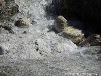
A trip up Green River Road was just the thing on a day that was finally warm. First interesting thing we saw the Stinky Spring next to the road. This spring is shown on old topographic maps of the area.
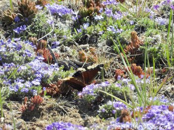
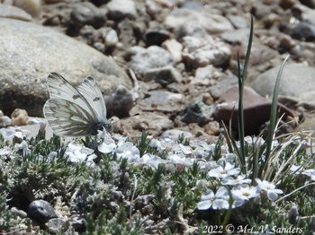
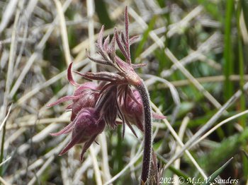
A Mourning Cloak butterfly on purple Phlox.

Can you find 2 Mourning Cloak butterfies?
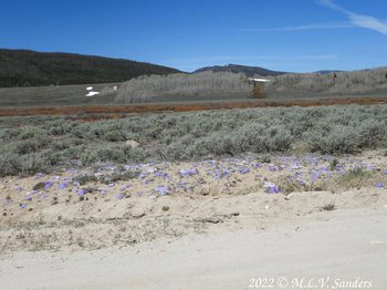
The purple phlox was amazing. Gardens of blooming phlox lined the road.
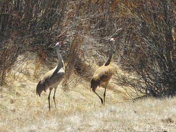
Two Sandhill Cranes making their exit into the brush.
Western Tanager, perhaps a 1st year.
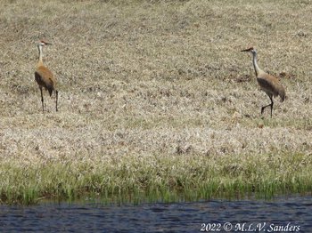
Two more Sandhill Cranes next to the Green River.
A female moose crossing the Green River.
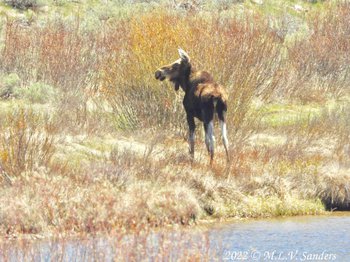
The same moose made its way onto the bank.
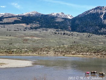
Wading collies in the river. Honey is wearing her protective UV sunsuit.
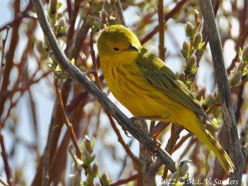
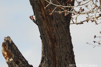
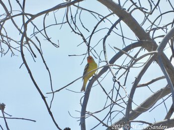
A Yellow Warbler that we saw on the way back.
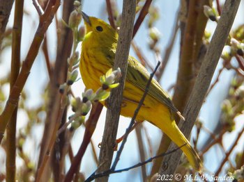
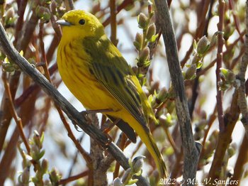
It was a beautiful warbler.
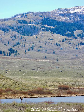
The 18 or so mile gravel road follows the Green River in an almost 180 degree arc. Only near the very end of the road can a traveler see the beautiful scenery surrounding the lakes.
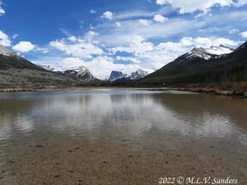
The view when close to the Green River Lakes.
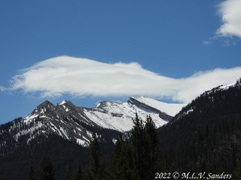
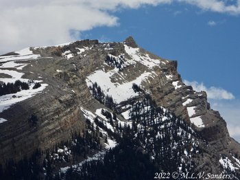
Snow covered ridge on the side of Big Sheep Mountain.
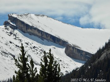
Close up of ridge on the side of Big Sheep Mountain.
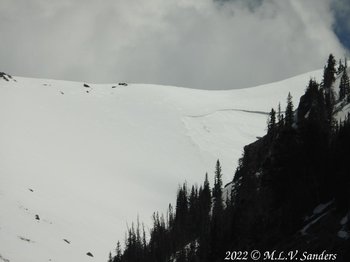
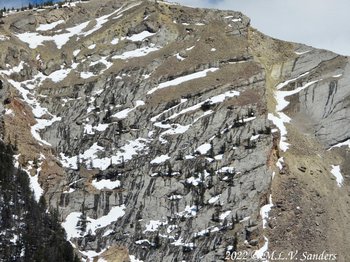
This photograph is of the same ridge as the two previous photographs. It was taken from a different angle, farther away. literally while standing in the Green River.
On the snow surface on the ridge, notice on the right hand side a section that is less smooth and has distinct borders with the smooth surface snow. Perhaps that is where there was an avalanche.
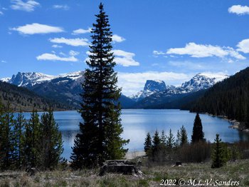
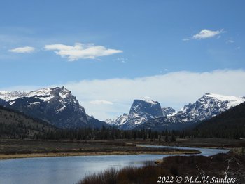
Lower Green River Lake with Square Top is in the center right.
The mountain White Rock partially clad in snow.
Dark streaks of melting snow and the snow creates a black and white pattern on the mountain side.
The lower Green River Lake

